19th century English county maps
| Old Maps A collection of scans of Public Domain maps. |
Note that these maps have been scanned from the originals at 300-350 dots
per inch, which makes for very large pictures that are usually around 2000×3000 pixels or larger, and several megabytes in size. These are large files, but I try to err on the side of using too high a resolution, as resolution can always be downgraded if needed.
Because of their large size, only a small part of a map may be visible at any
time in a Web browser window; a good picture editor program is more suitable,
particularly if you want to extract a small area of a map for your own use…
I used the GIMP (Gnu Image Manipulation Program), a free picture editor available for download from www.gimp.org. A Windows version is available: see the links on the main Gimp page.
BLACK’S GUIDE TO GLOUCESTERSHIRE (1869)
Published by Adam & Charles Black, Edinburgh.
Maps drawn by J. Bartholomew.
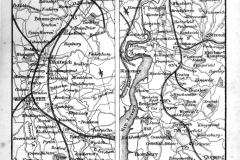
Route of the Bristol & Birmingham Railway
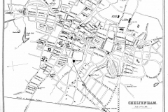
Plan of Cheltenham
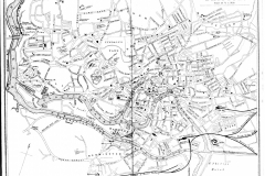
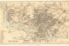
Plan of Bristol
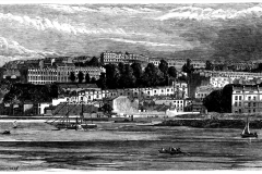
Engraving of Clifton
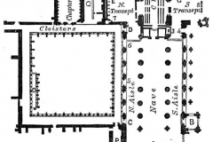
Ground Plan of Gloucester Cathedral
GLOBE ENCYCLOPEDIA: (1878)
The Illustrated Globe Encyclopaedia of Universal Information, Edited by John M. Ross, LL.D..
Published by A. Fullarton & Co., London, Edinburgh and Dublin, 1878
The maps were drawn by J. Bartholomew, F.R.G.S.
Bristol
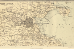
Dublin
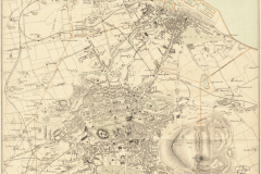
Edinburgh & Leith
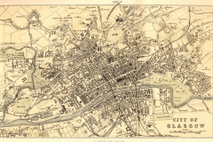
Glasgow
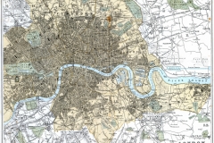
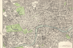
London
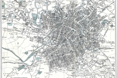
Manchester
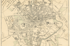
Norwich
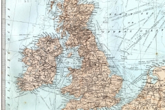
Whole UK
NINTH EDITION BRITANNICA: (1870-1890)
Maps Drawn by W. and A.K. Johnston.
Please note: “Encyclopedia Britannica” is a trade name of the well known encyclopedia publisher. The use here of their name is for bibliographic information about the source of the maps only: I have no sponsorship or permission from the Encyclopedia Britannica company for the use of this material. Since the 19th century maps from this source have long ago passed into the public domain, no such permission is needed.
Bedfordshire – See Northamptonshire
Berkshire – See Oxfordshire
Buckinghamshire – See Oxfordshire
Cambridgeshire – See Huntingdonshire
Cheshire – See Staffordshire
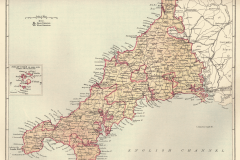
Cornwall
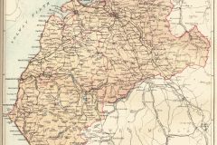
Cumberland
Derbyshire
Devon
Dorset
Durham
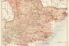
Essex
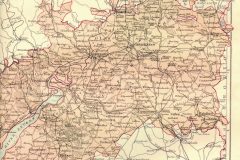
Gloucestershire
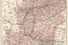
Hampshire
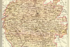
Herefordshire
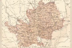
Hertfordshire
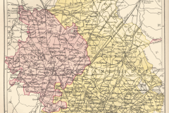
Huntingdon & Cambridgeshire
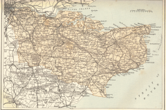
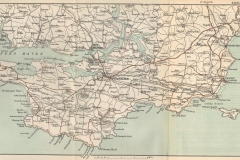
Kent
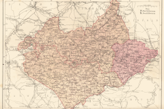
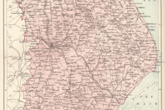
Leicestershire & Rutland
Lincolnshire
Central London
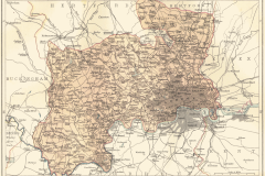
Middlesex
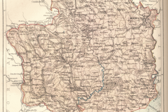
Monmouthshire
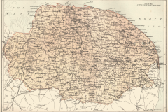
Norfolk
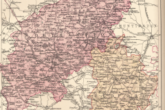
Northamptonshire & Bedfordshire
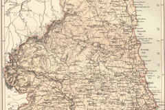
Northumberland
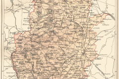
Nottinghamshire
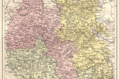
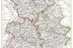
Oxfordshire, Berkshire and Buckinghamshire
Rutland – See Leicestershire
Shropshire – See Staffordshire
Staffordshire, Shropshire and Cheshire
Wawickshire
Wiltshire
Worcestershire
Yorkshire
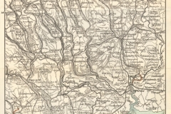
SOUTH WALES and the WYE DISTRICT OF MONMOUTHSHIRE (1892)
by C.S. WARD, M.A. and M.J.B. Baddeley, B.A.
One of the “Thorough Guide” series.
Several maps from this source are are awkward sizes and shapes for my A4 scanner, and have not yet been scanned. These are the ones I have on-line at the moment.
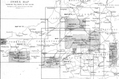
Index map with links to the other maps in this section. (most maps not yet included: but it shows what the eventual coverage will be)
Others
Brecon – Black and white map of unknown origin,acquired at a book fair. Probably mid 19th century or earlier.
This collection Copyright © Malcolm Farmer 2003 and © Derek Farmer 2020.
Not for commercial distribution. You may copy and share these files, but NOT sell them. If you want to give a friend a copy of a map or maps, that’s
OK.
Individuals can use any map, or portion of a map, for any non-commercial
purpose as they see fit. As a matter of courtesy, if you use one of these maps,
please include a link to the source: a pointer to
https://www.smilodon.41tov.co.uk/maps is sufficient.
September 23, 2003 and November 2020
